Photogrammetric Surveys
GSI’s Photogrammetry Surveys services apply to the following:
• Topographic mapping
• Site planning
• Earthwork volume estimation for proposed
roads
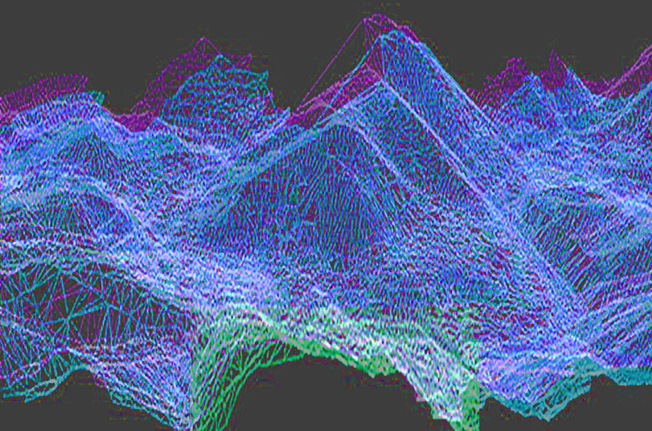
• Compilation of digital elevation models
(DEM)
• Image base mapping (orthophotography)
Photogrammetry is a surveying and mapping
method that has many applications in
Department of Transportation projects.
Photogrammetry is an art, because obtaining reliable measurements requires certain skills, techniques and judgments to be made by an individual. It is also a science and a technology because it takes an image and transforms it, via technology, into meaningful results.
Modern photogrammetry includes image sources and image forms other than photographs, such as radar images. Geomatic Solutions provides skilled, precise world class Photogrammetric Surveys to you in the Ft. Worth/Dallas area, on schedule, on budget.
Give us a call today at 817-487-8916.